Vote Arlington 5: Extending the Analysis North and South
Even a cursory glance at the choropleth maps in Vote Arlington 3: Processing the Data reveals an apparent difference in both income and voting participation rates between North Arlington and South Arlington. As a final step in this exploration, I’ll extend the previous analysis to take a statistical look at the difference between North and South Arlington.
The geographic boundary between North and South Arlington is Arlington Boulevard, so I’ll want to load a linestring representation of Arlington Blvd. into the database to select voting precincts to the north and south of it.
I found the data I need in the Roads data on the
Arlington County GIS Open Data
After unzipping Roads.zip I ran:
$ shp2pgsql -s 4269 Roads.shp roads | psql -d our_arlington
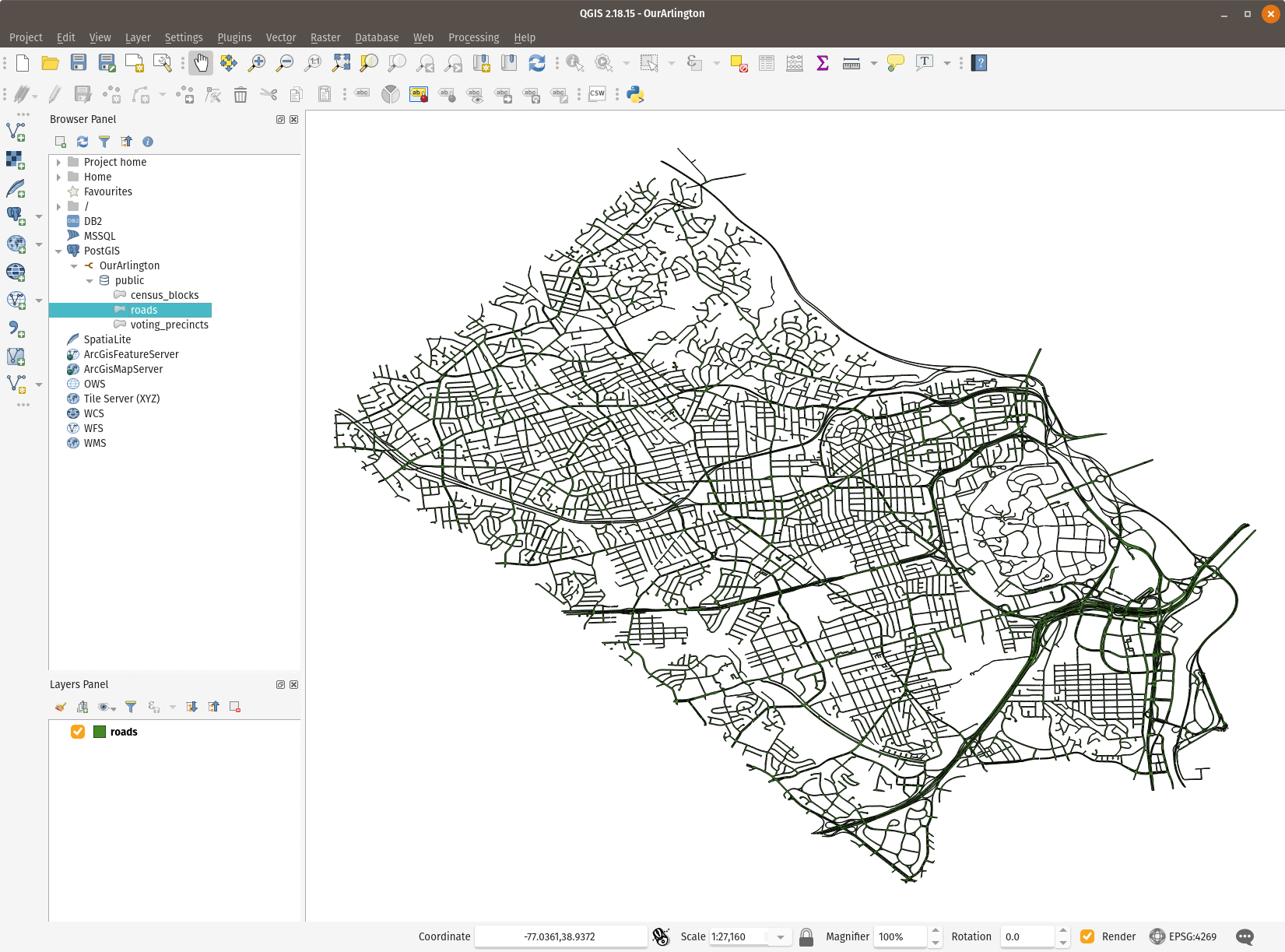
Connecting to the database from QGIS shows the layer.